How to Read a Topographic Map for Hiking
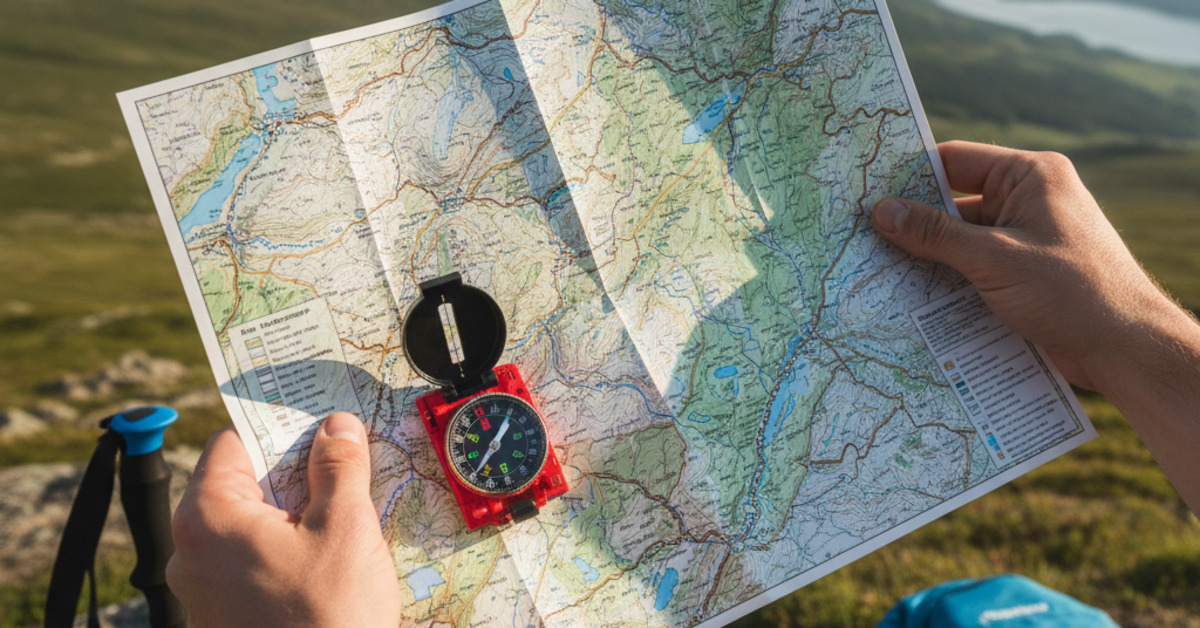
In an age of GPS and smartphones, it may seem old-fashioned to carry a paper map and a compass when you go hiking. But what happens when your phone battery dies or you lose your GPS signal? A topographic map and a compass are two of the most important pieces of gear you can carry with you in the backcountry. They're reliable, they don't require batteries, and they can help you to navigate with confidence. In this guide, we'll teach you the basics of how to read a topographic map.
What is a Topographic Map?
A topographic map is a detailed, two-dimensional representation of a three-dimensional landscape. It uses contour lines to show the shape and elevation of the land.
Contour Lines
Contour lines are the most important feature of a topographic map. They are imaginary lines that connect points of equal elevation. By understanding how to read contour lines, you can get a good sense of the terrain you'll be hiking through.
- Contour Interval: The contour interval is the difference in elevation between two adjacent contour lines. You can find the contour interval in the map's legend.
- Index Contours: Every fifth contour line is a heavier, darker line called an index contour. The index contour is labeled with its elevation.
- Interpreting Contour Lines:
- Closely spaced contour lines: Indicate steep terrain.
- Widely spaced contour lines: Indicate flat or gently sloping terrain.
- "V" shaped contour lines: Indicate a valley or a stream. The "V" always points uphill.
- "U" shaped contour lines: Indicate a ridge. The "U" always points downhill.
- Circular contour lines: Indicate a hill or a mountain.
Map Symbols
In addition to contour lines, topographic maps also use a variety of symbols to represent different features of the landscape.
- Colors:
- Blue: Water features, such as rivers, lakes, and streams.
- Green: Vegetation, such as forests and wooded areas.
- White: Open terrain, such as meadows and clearings.
- Brown: Contour lines.
- Black: Man-made features, such as roads, buildings, and trails.
- Red: Major roads and highways.
- Symbols:
- Dashed lines: Trails.
- Solid lines: Roads.
- Squares and rectangles: Buildings.
- Crosses: Churches and cemeteries.
The Map Scale
The map scale tells you how the distance on the map relates to the distance on the ground. You can find the map scale in the map's legend. A common map scale for hiking is 1:24,000. This means that 1 inch on the map is equal to 24,000 inches (or 2,000 feet) on the ground.
The Compass Rose
The compass rose shows you the orientation of the map. It has four main points: north, south, east, and west. Most topographic maps are oriented with north at the top.
Putting It All Together
Reading a topographic map is a skill that takes practice. Before you head out on a long hike, take some time to study the map and familiarize yourself with the terrain. With a little bit of practice, you'll be able to read a topographic map like a pro and navigate with confidence in the backcountry.